
This article asks: how long does it take to walk Speyside way? Cairngorms Holiday Cottages offer luxury holiday cottages in Speyside And Cairngorms. We look at what to expect from walking the Speyside way including route sections.
What is the Speyside Way
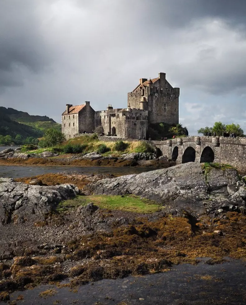
The Official Speyside Way is part of Scotland's larger collection of hiking routes. Others in the collection are the West Highland Way, Southern Upland Way and Great Glen Way. The Speyside Way was made official in 1981, running originally from Spey Bay to Ballindalloch.
Over the years, additional spurs in the Speyside region, such as the Buckie, Aviemore and Tomintoul spurs, have been added to provide great walks apart from the main route. Today, the Speyside Way connects the northern Moray coast trails to the edge of the Grampian Mountains and the larger Cairngorms National Park in a region famous for whisky production.
The main route essentially heads down the Spey Valley, cut by the fastest-flowing river in Scotland, the River Spey, along the Speyside Whisky Trail. Further branching routes have been planned to connect more stunning Scottish countryside to the route, but opening times have not been officially established just yet.
Where is the Speyside Way?
The traditional starting point of the Speyside Way is in Buckie on the shores of the Moray Firth. From this northeastern starting point, you'll head gradually southwest towards the final stop in Aviemore and the Cairngorm Mountains. Together, the route is 65 miles long point-to-point if you don't include any other spurs to separate locations.
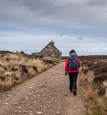
How long does it take to hike the Speyside Way?
Depending on how many miles you want to cover each day, the Speyside Way can be walked in around 5 to 8 days of holidays but will take longer if you opt for guided tours. The route you take will also determine how long the hike will last. But however you choose to walk the Speyside Way, the diverse scenery and attractive villages along the journey will make it a walk to remember.
The range of different starting and end points means you can explore as much or as little of the Speyside whisky region as you like, with the option to complete additional routes for a true adventure. Some of these will be more challenging than others, so it's worth considering how much hiking you think you can do in a single day.
Whatever route you choose to take, visiting as many of the over 20 whisky distilleries in the region, including Glenlivet Distillery and Aberlour Distillery, is a must.
Speyside Way Route Sections
Here we will take you through the entire Speyside Way trail, describing each section as you will encounter them on your journey. Each of these sections is different in length, but they all have similar qualities regarding difficulty and stunning scenery.
You can either complete all of these sections together over the 5 or 8 days of walking or appreciate each one at your own pace as individual hikes - the choice is yours. With dedicated luggage transfers and long-distance buses providing a direct link between sections, you can make the journey whichever way you please.
1: Buckie - Spey Bay
The first section of the Speyside Way begins in Buckie from the Cluny Square car park. From here, you can head from Port Gordon over to Spey Bay along the Speyside Way route, returning along the shore, depending on the tide of the Tynet Burn.
This section comprises coastal paths, woodland trails, paved sections and disused railway lines. As an introduction to the Speyside Way, this section is fantastic for hikers of all abilities.
To the west of Port Gordon, there are a few awkward cattle crossing points, and hikers may choose to take the rail station route, although it is a little uncomfortable.
2: Spey Bay - Fochabers
You can start the second section of the route from the Spey Bay Wildlife Centre. This portion finishes at Fochabers near the local cricket pitch just after the A96. For a more scenic journey, you might want to choose the circular route through Warren Wood, with plenty of forest paths and riverside tracks to guide you.
This way, you can enjoy easier grassy paths and forest trails. However, be careful around the river embankment around Birks, as the trail is squeezed between a road and the river, so hikers should watch their footing.
3: Fochabers - Craigellachie
From the cricket pitch at Fochabers, you can start on your route to Fiddich Park in Craigellachie. There are plenty of additional routes to take around Fochabers, with a fantastic mountain biking trail in the forest at Ben Aigen.
From tarmac roads to woodland paths and forest trails, this section is relatively easy walking for amateur hikers, although watch out for traffic on your way out of Fochabers and on the north side of Boat o' Brig.
4: Craigellachie - Ballindalloch
The fourth section of the Speyside Way route starts in Fiddich Park in Craigellachie. From there, you'll head in the direction of the former Ballindalloch station, which is now a dedicated camping site with car parking, toilet facilities and available accommodation.
There is a variety of circular routes and local footpaths to choose from in Craigellachie, Carron and Aberlour for you to mix things up if you so choose.
For the most part, the route follows the old railway lines, which makes it a fairly level and easy-going walk.
5: Tomintoul Spur Day – Ballindalloch - Tomintoul
If you want to explore some of the Speyside Way apart from the main route, then the Tomintoul Spur, starting at Ballindalloch, is a fantastic choice. You can take several routes from Ballindalloch Station or the Auldich Car Park, including the one between Glenlivet and Tomintoul along the waymarked trails around the Crown Estate.
This route is a little tricky and shouldn't be attempted for those with mobility issues, and it is also not appropriate for prams or wheelchairs, given the two steep gradients and exposed trail areas through hillwalk tours. This is another of the most difficult trails along the whole route of the Speyside Way.
6: Ballindalloch - Grantown
Next, you'll walk towards Grantown on Spey from your wild camping site at the Ballindalloch Station. There are no official circular routes for this section of the Speyside Way, but you can make your own circuits in Cromdale and Grantown on Spey. Of all the sections on this route, Ballindalloch to Grantown is possibly one of the hardest.
There are several variations in gradient, with rough and soggy terrain, including stepping stones through two streams, which may be difficult in bad weather when attempting long distances. You'll want to take a good pair of hiking boots and blister plasters and ensure you're up for the physical challenge when walking in the summer months too.
You'll also likely encounter some cattle along the way. The hardest stretch is from Ballindalloch to Pollowick, after which the ground levels off considerably and conditions improve. Be sure to take in the scenery as you cross the Spey Bridge into town and wander through the Anagach Woods.
7: Grantown - Nethy Bridge
To start the Grantown on Spey to Nethy Bridge section, head from the main square in Grantown towards the Speyside Way boards and maps posted on the edge of Anagach Woods.
You can follow a number of circular routes through the Abernethy footpath network. Ultimately, you will find yourself passing through the old rail station yard and into the centre of Nethy Bridge village.
The terrain is much easier than the previous section, with most forest trails, grassy abandoned railway lines and the odd unclassified road.
Therefore, this section is doable for all hikers, although watch for narrower portions by Balliefurth Farm and the Spey Valley Smokehouse. Also, keep the Countryside Code in mind and close behind you any farm gates you pass through.
8: Nethy Bridge - Boat of Garten
From the old railway station at Nethy Bridge, you can take several RSPB footpaths and smaller roads towards Boat of Garten, slowly working your way towards the Cairngorm Mountains.
The terrain of this section is split between constructed paths and forest roads, which together make for one of the easier sections on the Speyside Way. However, be prepared for some slightly trickier portions and steep gradients in places.
9: Boat of Garten - Aviemore
This is the final stage of the main Speyside Way route, starting in Boat of Garten and ending in the next village of Aviemore, a short distance from the Cairngorms. There are no official or waymarked circular routes, but you can follow the river alongside Kinchurdy Farm.
Why not try the local public transport for a steam train ride along the Strathspey Railway for a return journey? The terrain includes farm paths and tracks, cycling routes and the Aviemore orbital footpath, where walkers should be wary when walking the awkward portion under the railway bridges,
Are you looking for dog friendly holidays in the Speyside area? If you are planning a holiday or short stay in Speyside in Cairngorms National Park, we have some great luxury cottages available. For dog friendly Speyside accommodation follow the link below.